

ZoomAtlas – Mapping Every Square Inch of America
http://www.zoomatlas.com/
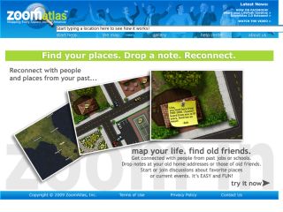
The ZoomAtlas geo-social networking site is the largest, most detailed, lifelike map of the United States that blends satellite imagery with capabilities for users to personally update properties. Through site-customization tools users can update map details including roads, railroads, waterways, sidewalks and property lines to miniscule landscaping details like grass, flowers and bricks on residences, restaurants, schools, parks, workplaces and more. Beyond updating location-specific aesthetics and details from the past, the map enables users to post information and notes for family and friends at important locations in their collective lives. This has been added to the tools section of Research Resources Subject Tracer™ Information Blog.